Càrn Gorm, Meall Garbh, Càrn Mairg & Creag Mhòr

South highlands, Càrn Gorm, Meall Garbh, Càrn Mairg & Creag Mhòr
Scotland
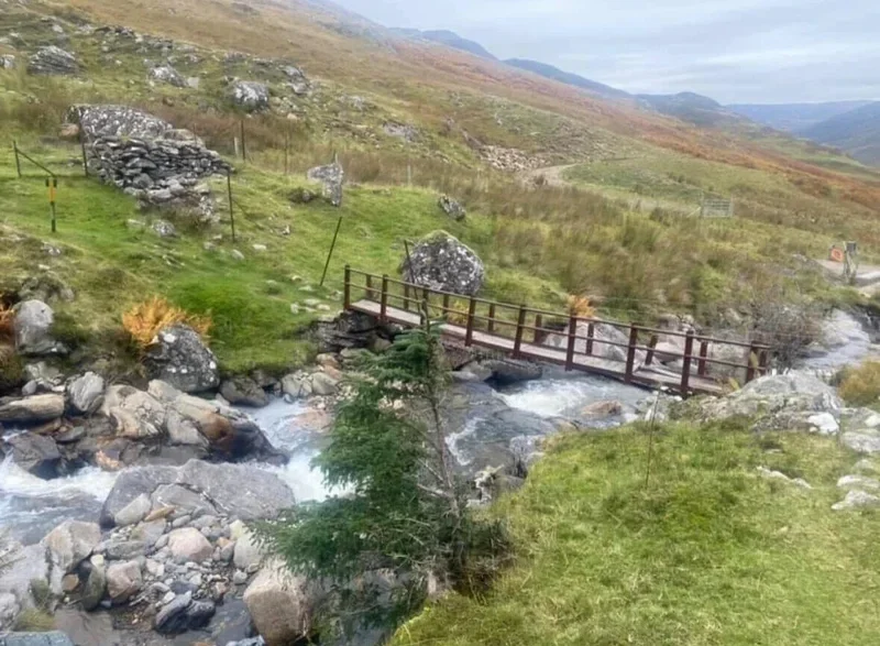
On busy days, parking can fill up quickly. From the car park, the track is generally good underfoot, although there are some boggy sections. It’s a fairly straightforward route to follow, and the peaks are clearly marked. On the way down, you may wish to cross the bridge, it’s still in use, but it looks weathered.
🚲 Bike and Hike ❌
🏕️ Camping possible but be respectful of park
💧 Water sources throughout small streams and burns
🏊♀️ Cold water possible on approach to hike
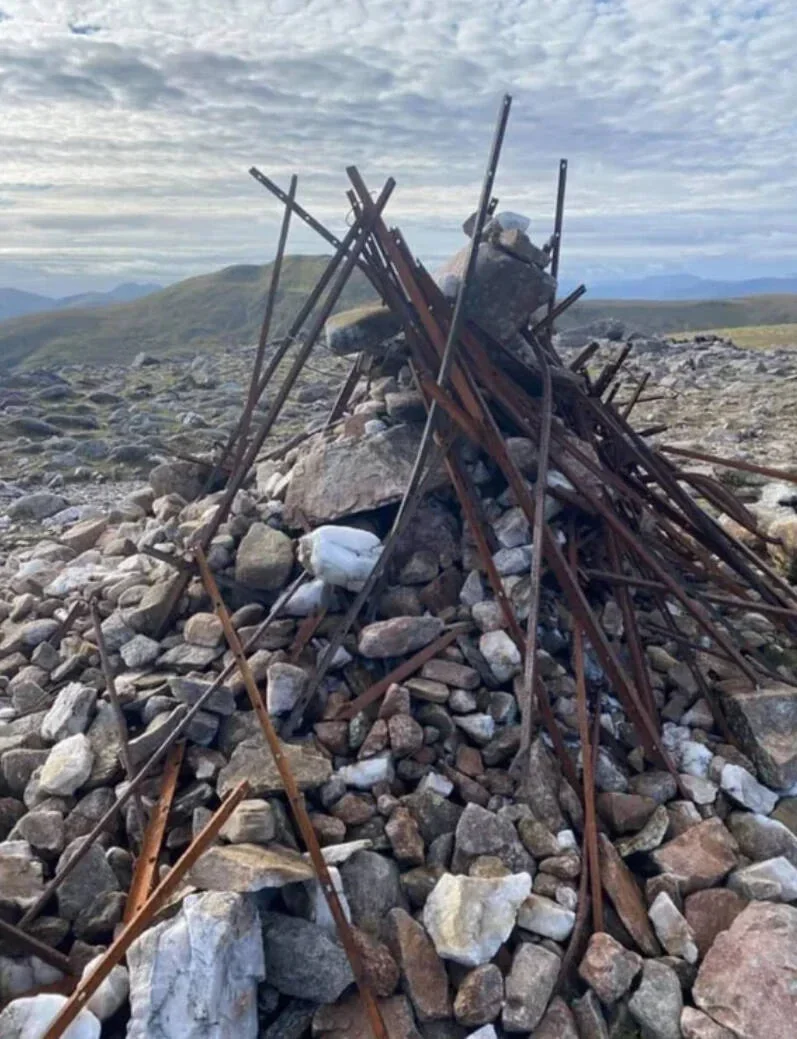
(Munro) Carn Gorm 1029 meters
Lat, Long 56.621966, -4.22628
OS Grid RefNN635500
(Munro) Meall Garbh 969 meters
Lat, Long 56.637576, -4.20763
OS Grid Re fNN647517
(Munro) Carn Mairg 1042 meters
Lat, Long 56.634142, -4.147096
OS Grid Ref NN684512
(Munro) Creag Mhòr (Meall na Aighean) 981 meters
Lat, Long 56.620058, -4.129996
OS Grid Ref NN694496
12 miles 7-8 hours
bog***
hike***
deer stalking under legislation of responsible walking.
Submit Walkers Report
Mountain, Scottish, hill, munrobagging, munro weather, munro parking, distance, time.