South highlands, Stuchd an Lochain
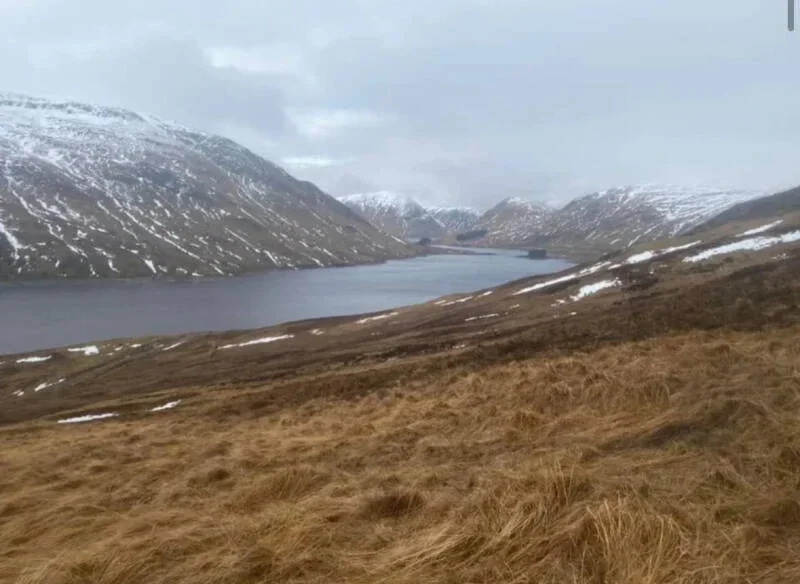
South highlands, Stuchd an Lochain
Scotland
🚲 Bike and Hike ❌
🏕️ Wild Camping restricted to lower or peak
💧 Water source at start and finish
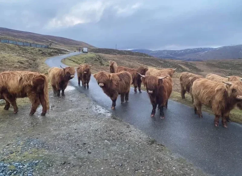
🏊♀️ Cold water can be accessed in river, dam water not advices or safe
two fairly straight forward Munros both accents can be seen from at park but the left Stuchd an Lochain sits further back, steep accents but can be a fact hike for some, tarmac to type one to defined track, dam should've crossed with Carrie you decide to skip the road access between both.
(Munro) Stuchd an Lochain [Stuc an Lochain] 960 meters
Lat, Long 56.570617, -4.470714
OS Grid Ref NN483448
5 miles 4-5 hours
bog**
hike**
no deer stalking
Mountain, Scottish, hill, munrobagging, munro weather, munro parking, distance, time.